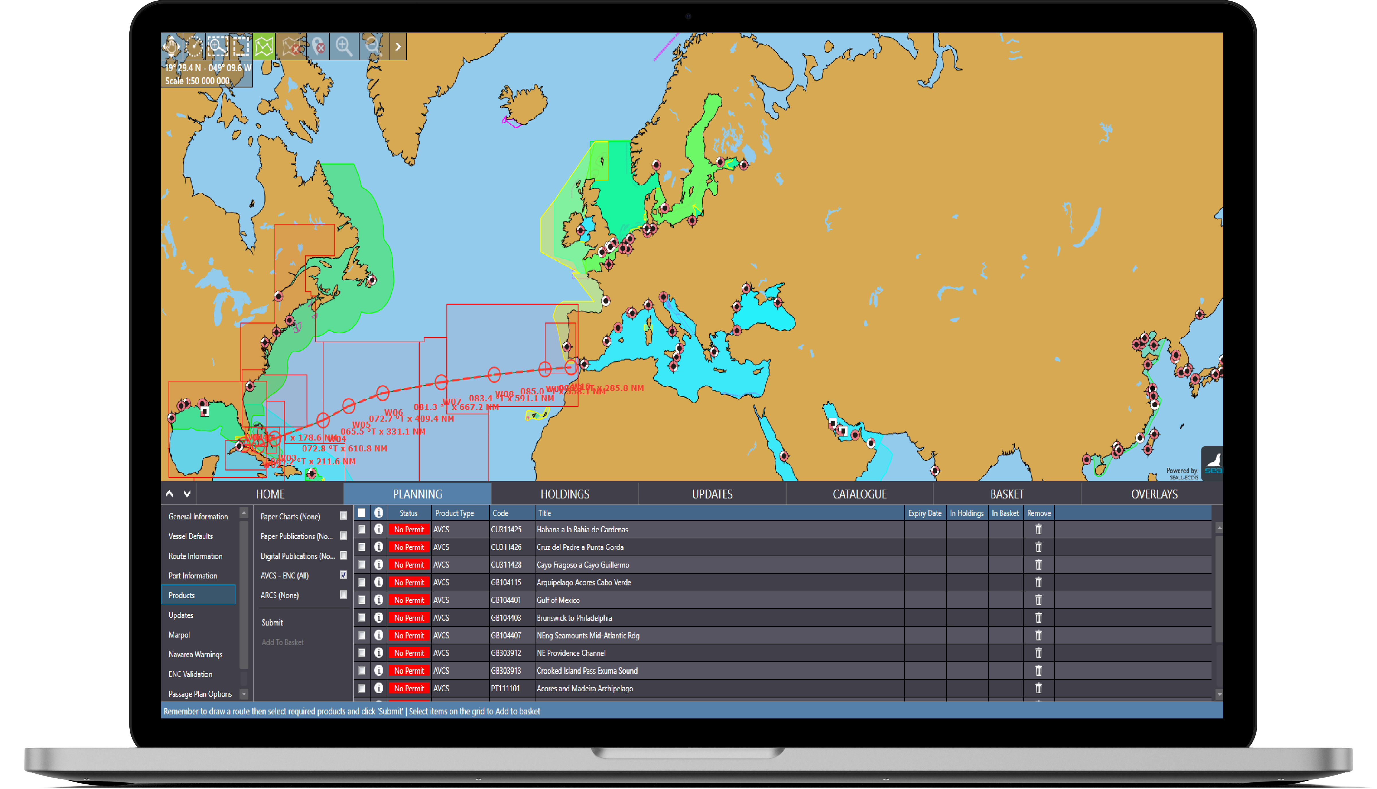
Voyager GPS OVERLAY helps improve situational awareness and provides emergency back-up to ECDIS.
Voyager GPS OVERLAY enables users to display live vessel GPS position in Voyager PLANNING STATION.
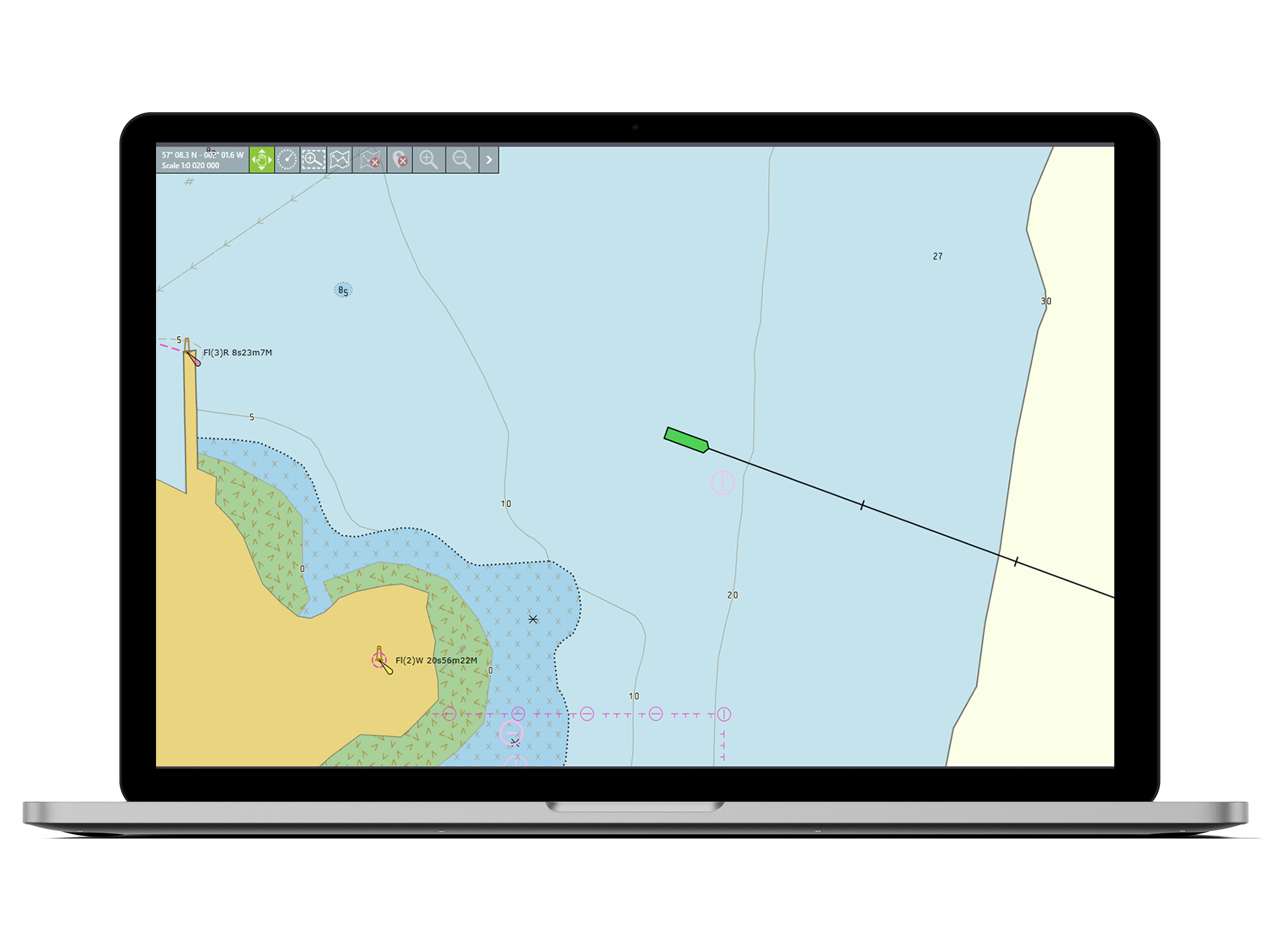
Vessel position displayed on official AVCS ENCs* enabling the bridge team to monitor and navigate**.
Use as an emergency navigation system in the event of multiple ECDIS failures and supports enhanced situational awareness. Requires USB to NMEA 0183 Gateway, AIS Pilot Plug USB or Bluetooth Pilot Plug Adapter.
Using the GPS OVERLAY the vessel’s live GPS position is displayed in real time either on the Voyager map or on official AVCS ENCs* to enable the bridge team to monitor vessel position and, if required, to navigate**.
Wired and wireless GPS USBs and Pilot Plugs can be purchased from Voyager Worldwide or users can use their own devices.
*Active AVCS subscription required
**The GPS OVERLAY in Voyager PLANNING STATION does not meet regulatory requirements for a second ECDIS and/ or a get you home paper chart back-up.
Yes, this application requires a GPS feed to the PC where the GPS OVERLAY application is installed. Users may use their own wired or Bluetooth GPS devices. Alternatively, GPS connections can be purchased from Voyager Worldwide for use within this service.
世界中で1100社以上の企業がVoyagerを活用し、安全性とコンプライアンス問題を改善しています。オペレーション上の状況を正確に把握し、より効率的な業務改善を実現しております。
実際の様子を見る
デモをみるYokohama +81 45 650 1380 Kobe +81 78 332 3422 までお電話を、もしくはVoyager Worldwideからの連絡を希望する。
Voyager Worldwideからの連絡を希望する。今すぐ始める
無料トライアルを始める